Oman Lens OL-2: The 400 TOPS AI Satellite Revolution
Analyzing Oman's upcoming second AI-powered satellite mission and its massive 400 trillion operations per second onboard processing power.
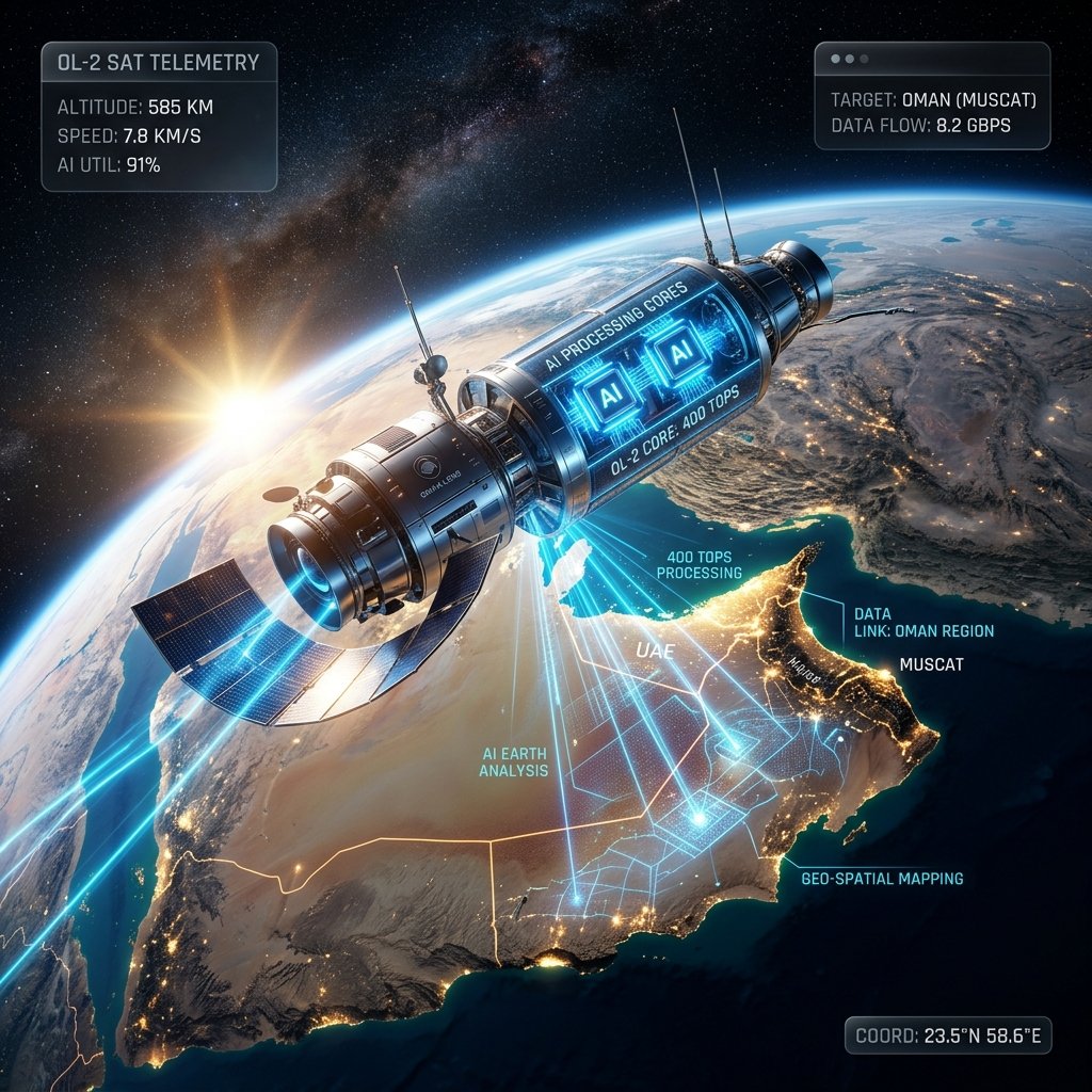
The Sultanate of Oman is rapidly ascending in the global space economy. Following the successful launch of its first satellite, OL-1, in late 2024, the Omani space tech pioneer Oman Lens has announced the upcoming deployment of OL-2. This second mission represents a monumental leap in capability, featuring an onboard AI platform that can perform more than 400 trillion operations per second (TOPS).
For Omani business leaders and urban planners, OL-2 isn't just a piece of hardware in orbit; it's a real-time data engine that promises to transform how we monitor our national infrastructure, manage our natural resources, and respond to environmental challenges like flash floods.
What makes the 400 TOPS processing power so significant?
The 400 TOPS onboard processing allows the OL-2 satellite to analyze high-resolution imagery in real-time, filtering out useless data (like cloud cover) before it even reaches a ground station.
Traditional satellites are often limited by the "bottleneck" of data transmission. They capture massive amounts of raw imagery, much of which is obscured by clouds or irrelevant to the mission, and send it back to Earth for processing. Oman Lens OL-2 flips this model. By performing heavy AI computation in orbit, the satellite can identify specific features—such as a building under construction or a rising flood line—and transmit only the high-value insights. This reduces latency from hours to seconds and slashes data transmission costs by over 80%.
Key Technical Specifications of OL-2
- Processing Speed: 400+ TOPS (Trillion Operations Per Second).
- Spatial Resolution: 50-centimeter panchromatic imaging.
- Multispectral Channels: RGB + Near-Infrared (NIR) for environmental monitoring.
- Mission Timeline: Targeted launch for the first half of 2026.
How will OL-2 benefit Oman's urban and environmental sectors?
OL-2 will provide hyper-accurate data for flood prediction, street planning, and vegetation monitoring across the Sultanate with sub-meter precision.
The sub-meter resolution (50cm) means the satellite can distinguish between individual cars on a street or identify specific types of vegetation in the Dhofar region. For Omani municipalities, this translates to real-time urban planning data. For emergency services, the AI's ability to predict flood patterns based on real-time multispectral data can be life-saving. The OL-2 is designed to serve as a "digital eye" that doesn't just see, but understands the terrain below.
| Application | Traditional Method | Oman Lens OL-2 Advantage |
|---|---|---|
| Flood Monitoring | Ground sensors + delayed satellite data | Real-time AI-detected flood lines in orbit |
| Urban Planning | Manual surveys / low-res imagery | 50cm high-res AI-assisted mapping |
| Vegetation Health | Physical sampling / periodic flyovers | Continuous NIR multispectral analysis |
| Infrastructure Security | On-site patrols | AI-detected unauthorized site changes |
Aligning Space Technology with Oman Vision 2040
Oman Lens OL-2 is a cornerstone of the Sultanate's ambition to build a self-reliant space sector that contributes to national GDP and technological sovereignty.
By developing high-compute satellites like OL-2, Oman is positioning itself as a regional hub for geospatial intelligence. This mission supports Oman Vision 2040 by fostering a knowledge-based economy where data—and the ability to process it rapidly—is the primary commodity. The collaboration with regional partners like the Bahrain Space Agency further underscores Oman's leadership in GCC space cooperation.
"OL-2 is not just a satellite; it's a mobile supercomputer in space. It represents our commitment to leading the region in AI-driven space exploration." - Representative from Oman Lens
Preparing Omani Businesses for the Space Data Boom
As OL-2 nears its launch date, Omani businesses in logistics, construction, and agriculture should begin exploring how to integrate satellite-derived AI insights into their operations. The ability to receive real-time sub-meter alerts will be a competitive differentiator for companies operating at a national scale. At AI Profit Lab, we believe that the convergence of space tech and ground-level AI will define the next decade of ROI in the Sultanate.
Space Data Strategy for Managers
Managers should evaluate their current dependency on ground-level monitoring. With the advent of OL-2, the cost of high-frequency wide-area monitoring is set to drop significantly. Now is the time to plan for an AI-integrated geospatial strategy.
Frequently Asked Questions
What is Oman Lens OL-2?
OL-2 is Oman's second AI-powered Earth observation satellite, featuring advanced onboard processing for real-time data analysis.
What does "400 TOPS" mean?
It stands for Trillion Operations Per Second, measuring the massive computational power the satellite uses to run AI algorithms in space.
What is the imaging resolution of OL-2?
The satellite captures images with a 50cm panchromatic resolution, meaning it can see objects as small as half a meter on the ground.
How will OL-2 help with flood monitoring?
The AI can detect rising water levels and predict flood paths in real-time, providing early warnings to emergency services.
When will the satellite be launched?
The launch is targeted for the first half of 2026, building on the success of the OL-1 mission.
Who is behind the Oman Lens project?
Oman Lens is a private Omani space tech company working in alignment with national digital and space strategies.
Can the satellite see through clouds?
While it uses optical sensors, its AI algorithms are specifically designed to filter out cloud-covered areas to save bandwidth and focus on clear data.
What is Near-Infrared (NIR) imaging used for?
NIR is crucial for vegetation monitoring, as it can detect plant health and moisture levels that are invisible to the human eye.
Will the data be available to private businesses?
Oman Lens aims to provide geospatial intelligence services to both government and private sector clients across the GCC.
How does OL-2 contribute to Vision 2040?
It drives high-tech innovation, builds local space capabilities, and creates high-value jobs in the Sultanate's knowledge economy.
References
Ready to Automate Your Business Operations?
AI Profit Lab helps non-technical managers in Oman and the GCC deploy custom AI solutions, automated customer service systems, and real-time dashboards to slash overhead costs and eliminate manual busywork.
Book a Free 30-Minute AI Consultation